2021-2022
German Federal Ministry for the Environment
Advisory Assistance Programme for Environmental Protection in the Countries of Central and Eastern Europe, the Caucasus and Central Asia, and Other EU Neighbouring Countries
Natura 2000 is the largest coordinated network of protected areas in the world, encompassing the most valuable and most threatened European species and habitats.
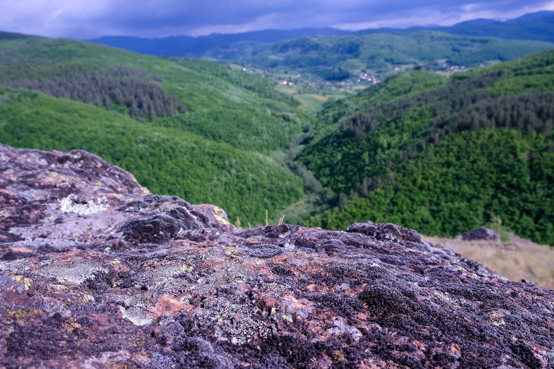
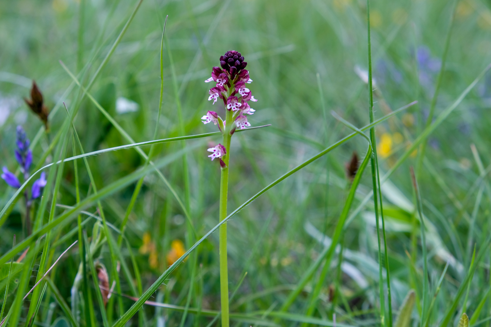
Estimates suggest that a large portion of Montenegro’s territory could be part of this network, as it meets the criteria outlined in the EU Habitats Directive. So far, around 30% of Montenegro’s territory has been mapped from the Natura 2000 perspective, with only about 5% of that area referring to rivers. Although Montenegro is constitutionally defined as an ecological state, this is increasingly being substantiated by the data already collected. Since the country’s legal framework has been aligned with the requirements of the EU Birds and Habitats Directives, efforts must now shift toward comprehensive habitat mapping to gain a full picture of habitat and species distribution across Montenegro.
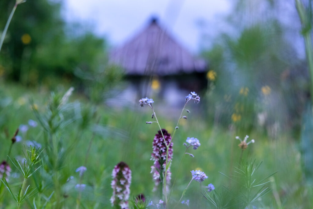
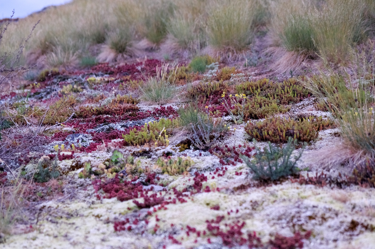
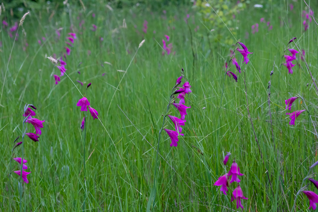
Despite the progress made in Natura 2000 habitat mapping, two-thirds of the country still needs to be mapped. This includes many sensitive habitats, such as various river systems and other freshwater ecosystems. Mapping these vulnerable and endangered habitats is urgent, especially because they are under intense anthropogenic pressure. Moreover, widespread plans for hydropower development across Montenegro’s rivers further emphasize the need to rapidly map and assess the most valuable habitats. In parallel, these habitats should be nominated as Emerald sites under the Bern Convention. (While the Natura 2000 network applies within the EU, areas of similar ecological value outside the EU can receive Emerald site designation.)
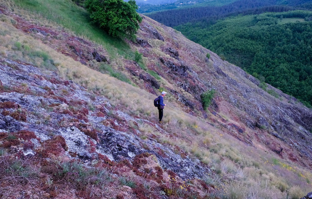
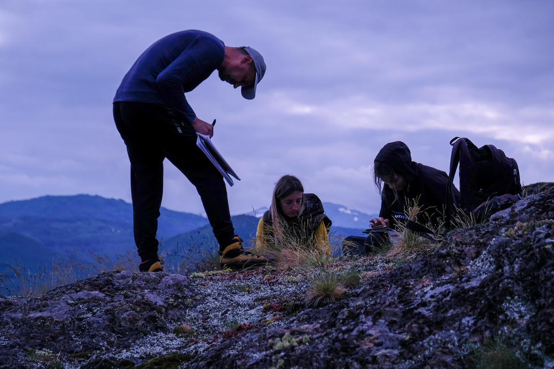
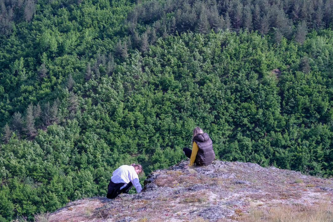
Therefore, through this project, CDE is conducting habitat mapping and key species assessments in the catchment areas of the Štitarička River, Skrbuša, Vranještica, and Komarnica, where various infrastructure projects—primarily hydropower developments—are planned. The construction and operation of such facilities dramatically alter the water regime, profoundly changing the ecological and other characteristics of these rivers. Mapping these river ecosystems will offer valuable input for environmental impact assessments. The project will also contribute to updating Montenegro’s existing habitat type database and will support progress toward closing EU Chapter 27 (Environment).
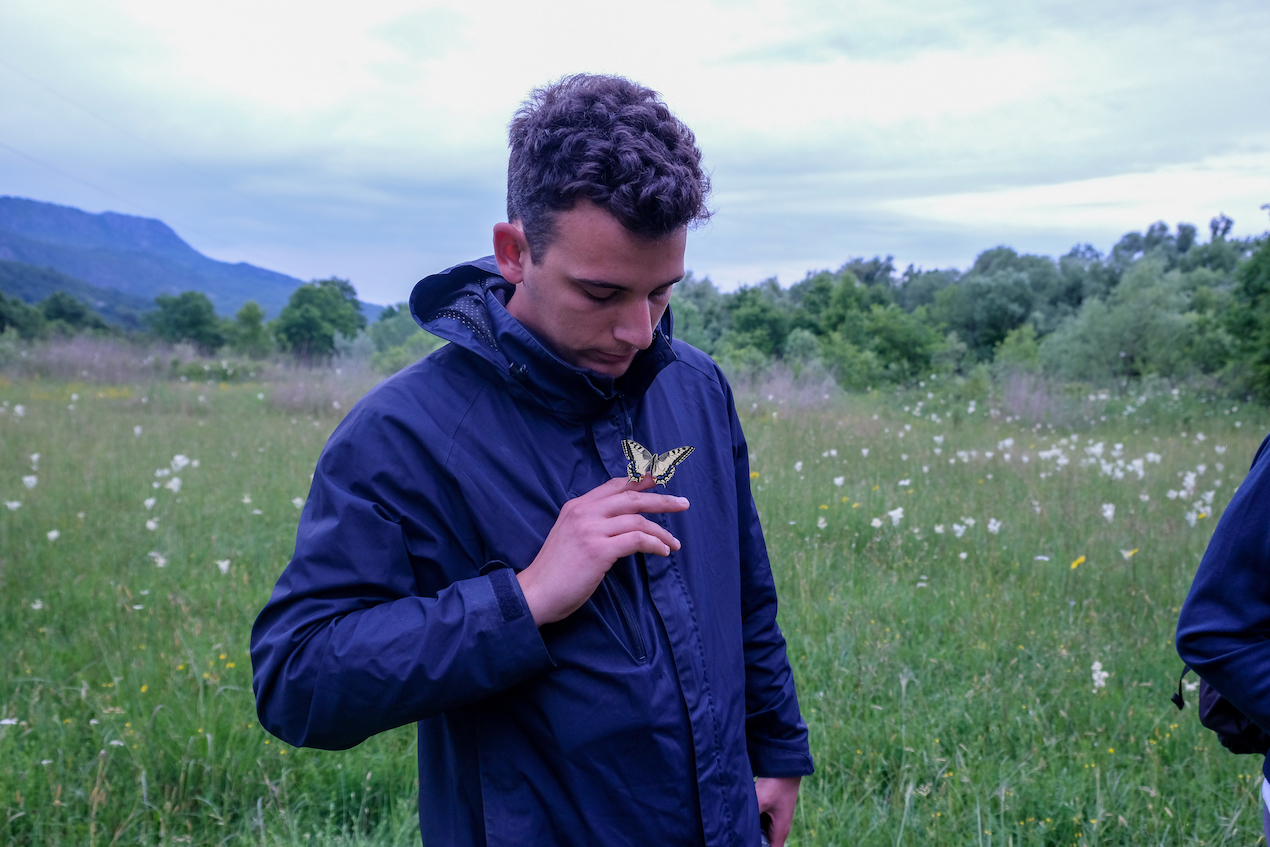
In addition to mapping habitats along selected river systems, the project places a strong emphasis on working with local communities that depend on healthy river systems (for drinking water supply, fishing, tourism, agriculture, etc.). One of the project’s goals is to foster a deeper connection between residents and their rivers by raising awareness of the ecosystem services provided by pristine mountain rivers.
Besides empowering local communities to engage in river ecosystem protection, the results of this project will also benefit local tourism organisations in the targeted areas, particularly those promoting eco-tourism based on natural resources and unspoiled beauty.